USFS Climate Gallery - Rangeland Allotment Monitoring System StoryMap
Rangelands are dominated by grasses, grass-like plants, and shrubs, and provide important habitats for wildlife and livestock. Rangelands are vulnerable to drought and extreme weather events, which in turn affects the other species on these lands. The Forest Service uses information on forage quantity and timing and on drought conditions to inform actions that keep rangelands resilient to changing environmental conditions.
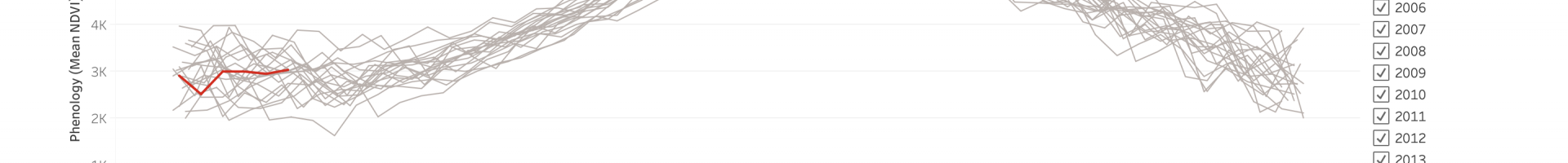
The Rangeland Allotment Monitoring System (RAMS) uses existing datasets derived from remotely sensed data to describe past and current conditions and trends within grazing allotments and pastures. RAMS can serve as a decision support tool for allotment monitoring plans, grazing strategies, forest planning, wildlife habitat concerns, restoration planning, and more.