Image
Image
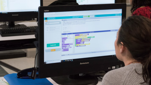
Trainings & Courses
Discover a range of trainings and webinars designed to equip you with the necessary tools, skills, and knowledge you need to effectively manage your climate-related risks, explore your options, and identify opportunities. Explore our catalog of external federal trainings and webinars, categorized by the specific climate hazards you are face or assets you are trying to protect.
Image
Featured Courses


Image

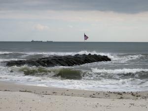
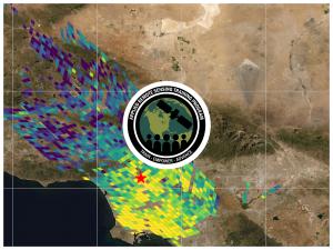
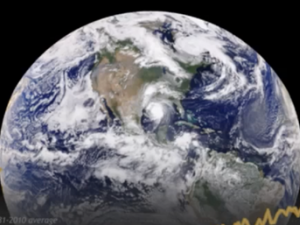
Image provided on NOAA Sea Grant website.
1 - 15 of 94 results for Trainings & Courses


Image
U.S. Department of Agriculture


Image

U.S. Army Corps of Engineers, Flickr, licensed under Public Domain

Image
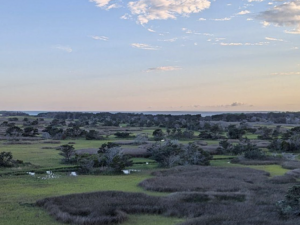
Photo by Sean Bath, NOAA Climate Program Office.
Image
U.S. Department of Agriculture