Case Studies

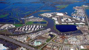
This photo has been released into the public domain because it contains materials that originally came from the U.S. Army Corps of Engineers. No endorsement by licensor implied.
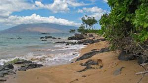
Photo attributed to Michael Oswald. This work has been released into the public domain by its author. No endorsement by licensor implied.
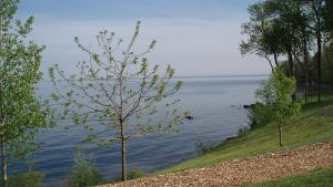
Photo attributed to CeciliaPang. This work has been released into the public domain by its author. No endorsement by licensor implied.

Toby Anungazuk, Jr. Used with permission.
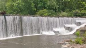
Still image from video, "Fredericktown, Missouri: Water Utility Climate Adaptation Planning" from the U.S. Environmental Protection Agency
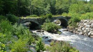
Ellen Wagner. CC-BY-NC-ND 2.0, https://creativecommons.org/licenses/by-nc-nd/2.0/, via Flickr

Courtesy of NBBJ
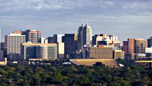
Aachor. CC BY-SA 3.0, http://creativecommons.org/licenses/by-sa/3.0/deed.en, via Wikimedia Commons.
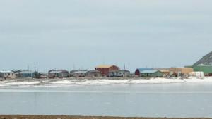
Peggy Fagerstrom, Sitnasuak Native Corporation. Used with permission
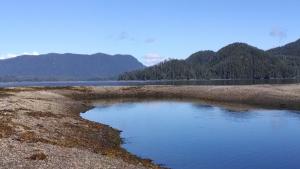
Chris Whitehead, Sitka Tribe of Alaska. Used with permission.
This image has been released into the public domain because it contains materials that originally came from the U.S. Department of Agriculture. No endorsement by licensor implied.

Jon 'ShakataGaNai' Davis. CC-BY-SA-3.0, http://creativecommons.org/licenses/by-sa/3.0, or GFDL, http://www.gnu.org/copyleft/fdl.html, via Wikimedia Commons
Travis Essinger on Unsplash
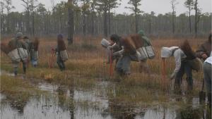
Photo attributed to U.S. Fish and Wildlife Service Headquarters. Incorporated here under the Creative Commons Attribution 2.0 Generic license. No endorsement by licensor implied.
