Background
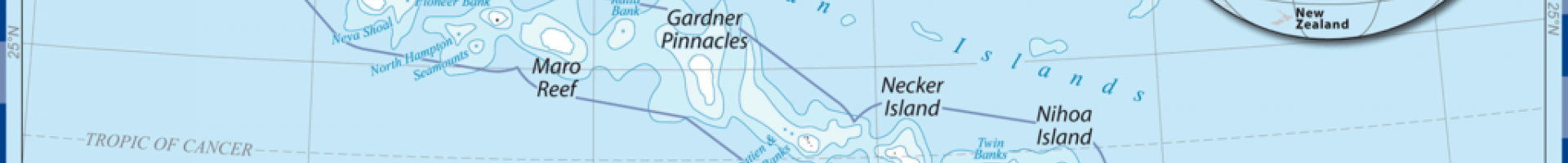
The Northwestern Hawaiian Islands (NWHI) are small islands and atolls located northwest of the islands of Kauai and Niihau. Due to their geographic remoteness and limited access for human activities, the NWHI are one of the most “natural” coral reef ecosystems in existence. This nearly pristine ecosystem supports an abundance of large apex predators, high numbers of endemic species, and important habitat for a number of threatened and endangered species. In June 2006, nearly 140,000 square miles of the marine environment was designated as the Northwestern Hawaiian Islands MNM (renamed Papahānaumokuākea a year later). The initial designation of this monument provided immediate and permanent protection to the area and established a management structure of four co-trustees—NOAA, the U.S. Fish and Wildlife Service (USFWS), the Department of Land and Natural Resources (DLNR), and the Office of Hawaiian Affairs. Day-to-day management of the monument includes a partnership between the NOAA Office of Marine Sanctuaries and National Marine Fisheries Service, USFWS Ecological Services and USFWS Refuges, DLNR Division of Aquatic Resources and Division of Forestry and Wildlife, and Office of Hawaiian Affairs. In August 2016, the PMNM was expanded to cover over 582,500 square miles.
In 2008, a management plan was created for ensuring the coordinated management of coral reef ecosystems and related environments, as well as the cultural and historic resources of the monument. Climate change impacts including coral bleaching, sea level rise, ocean acidification, and changes in precipitation patterns are noted in the plan. Non-climate stressors such as diseases, invasive species, boat groundings, oil and fuel spills, and destructive fishing practices are also documented as concerns.
Implementation
Although the PMNM Management Plan does not address adaptation specifically, it provides a framework for integrating strategies that focus on climate change (e.g., through research and monitoring, education and outreach, and review and synthesis). For example, a number of specific research activities to examine the effects of climate change on the NWHI are identified:
- Determine the effect of sea level rise on nesting sites of protected species (e.g., Hawaiian monk seal, green sea turtle);
- Identify specific habitats, communities, and populations that will be affected by climate change;
- Identify habitat changes that will result from sea level rise;
- Map areas that will be most affected by extreme weather events; and
- Distinguish human-made impacts from natural variability of the biophysical environment.
Long-term monitoring programs relevant to climate change have also been, and will continue to be, conducted in the NWHI including the Coral Reef Ecosystem Division of the NOAA Pacific Islands Science Center, which integrates ecological studies with environmental data to comprehensively assesses ecosystems; the Coral Reef Ecosystem Integrated Observing System focused on mapping, monitoring, and observing ecological and environmental conditions; and Coral Reef Watch, which identifies bleaching “hotspots.”
Citation
Kershner, J. (2021). Incorporating Climate Change Adaptation into the Papahānaumokuākea Marine National Monument Management Plan[Case study on a project of the National Oceanic and Atmospheric Administration]. Version 2.0.
This case study is a product of EcoAdapt’s Research & Innovation program, and is part of The State of Climate Adaptation in the Marine and Coastal United States, Territories, and Commonwealths report. Retrieved from CAKE.