
Case Studies
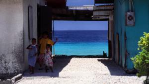
Homes in the Marshall Islands form a natural frame for the sea. Photo by Stefan Lins, CC-BY-2.0, https://creativecommons.org/licenses/by/2.0/, via Flickr.

Demolition of the Washington Post building, 2016. Photo by Victoria Pickering, CC BY-NC-ND 2.0, https://creativecommons.org/licenses/by-nc-nd/2.0/

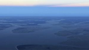
Sunset by Hamad M., cropped and rotated. CC BY-NC 2.0, https://creativecommons.org/licenses/by-nc/2.0/
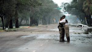
Staff Sgt. James L. Harper Jr., U.S. Air Force photo. Public domain, via Wikimedia Commons
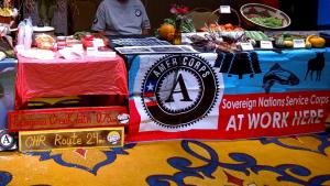
Michael Montoya, Sovereign Nations Service Corps, Mescalero Apache Tribe. Used with permission.
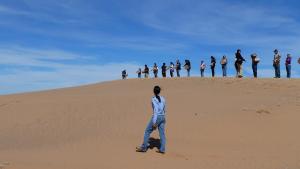
Lee Amoroso, U.S. Geological Survey
Chris Carnevale, Southern Alliance for Clean Energy. Used with permission
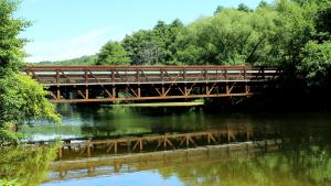
Dwight Burdette, own work. CC BY 3.0, http://creativecommons.org/licenses/by/3.0, via Wikimedia Commons

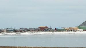
Peggy Fagerstrom, Sitnasuak Native Corporation. Used with permission

Toby Anungazuk, Jr. Used with permission.

Menominee Nation Sustainability Development Program. Used with permission
Angela Burgess, USFWS
thepipe26, own work. CC-BY-2.0, http://creativecommons.org/licenses/by-sa/2.0/legalcode, via Wikimedia Commons