
Case Studies
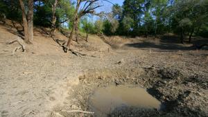
large dry sink, GPS, NAD 27 310050.2 842133.1 Grady County, Georgia, cropped, by Alan Cressler, used with permission, via Flickr. https://www.flickr.com/photos/alan_cressler/1433048454/
Sub-sample of image: 2007 drought at Lake Lanier, by Tom Wilson.
Bureau of Reclamation Research and Development Office
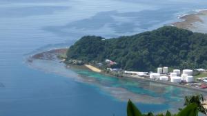
The fuel tanks at the entrance to Pago Pago Harbor. American Samoa, Tutuila Island. Source: LCDR Eric Johnson, NOAA Corps. - NOAA Photo Library

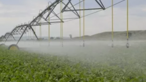
Travis Essinger on Unsplash
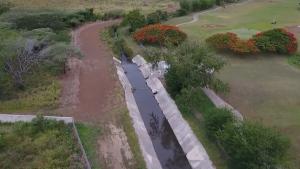
Still image of an aqueduct canal near Salinas, Puerto Rico, extracted from the FEMA video "Recharge Project: Aquifer Storage and Recovery Project in Salinas, Puerto Rico"
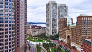
Boston cityscape. Bert Kaufmann, Roermond, Netherlands. CC BY 2.0 (http://creativecommons.org/licenses/by/2.0), via Wikimedia Commons
Wall in San Angelo, Texas. By Sascha Petersen, Adaptation International. CC BY-SA 4.0, https://creativecommons.org/licenses/by-sa/4.0