The U.S. government is closed. This site will not be updated; however, NOAA websites and social media channels necessary to protect lives and property will be maintained. To learn more, visit commerce.gov.
For the latest forecasts and critical weather information, visit weather.gov.

Image
case studies

Case Studies

Flooding – CoastalX
1 - 15 of 109 results for Case Studies & Action Plans
View Map Results
Regions
Assets
Hazards
Step
Action Types
Image
aerial view of city and harbor
  • This photo has been released into the public domain because it contains materials that originally came from the U.S. Army Corps of Engineers. No endorsement by licensor implied.

  • Image
    beach with island in background
  • Photo attributed to Michael Oswald. This work has been released into the public domain by its author. No endorsement by licensor implied.

  • Image
    estuary
  • This image has been released into the public domain because it contains materials that originally came from the U.S. Department of Agriculture. No endorsement by licensor implied.

  • Image
    a group of tree planters hiking
  • Photo attributed to U.S. Fish and Wildlife Service Headquarters. Incorporated here under the Creative Commons Attribution 2.0 Generic license. No endorsement by licensor implied.

  • Image
    group of people pointing to a map on a table
  • Adam Whelchel, The Nature Conservancy

  • Image
    charleston plan cover
  • Clockwise from top left: Clint McKoy (2019), Adam Kring (2019), Alex Durham (2019), Wes Hicks (2018)

  • Image
    city of alexandria
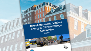
  • Top: Buildings at Old Town (Unsplash, Ryan Ledbetter, 2021) Bottom, from left to right: Electric bus (DASH), construction, bikes and trolleys (City of Alexandria), and rooftop solar installation (Unsplash, Bill Mead, 2022)