Case Studies
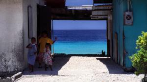
Homes in the Marshall Islands form a natural frame for the sea. Photo by Stefan Lins, CC-BY-2.0, https://creativecommons.org/licenses/by/2.0/, via Flickr.
Chris Carnevale, Southern Alliance for Clean Energy. Used with permission
This image has been released into the public domain because it contains materials that originally came from the U.S. National Weather Service. No endorsement by licensor implied
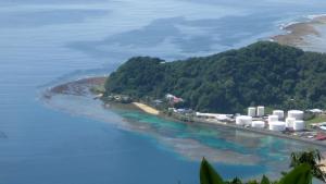
The fuel tanks at the entrance to Pago Pago Harbor. American Samoa, Tutuila Island. Source: LCDR Eric Johnson, NOAA Corps. - NOAA Photo Library
Splash screen for NFWF Case Study: The Water Institute of the Gulf — Port Fourchon: Supporting Resiliency on an Evolving Coast
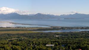
Panorama of the Homer Spit in Homer, Alaska. Photo by Derek Ramsey (Ram-Man), CC BY-SA 2.5, http://creativecommons.org/licenses/by-sa/2.5, via Wikimedia Commons
Agiorgio. CC-BY-SA-3.0, http://creativecommons.org/licenses/by-sa/3.0/legalcode, via Wikimedia Commons
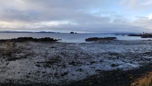
Kake Tidal Flats, by Elizabeth Figus. Used with permission
Photo attributed to LASZLO ILYES. Incorporated here under the Creative Commons Attribution 2.0 Generic license. No endorsement by licensor implied.

Aerial view of the City of Virginia Beach oceanfront. © City of Virginia Beach, Department of Public Works. Used with permission
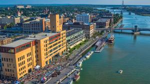
Green Bay's CityDeck with the Peacemaker tall ship docked at the Cherry Street boat landing, 2014. By Chris Rand, CC BY-SA 4.0, https://creativecommons.org/licenses/by-sa/4.0), via Wikimedia Commons
