
Case Studies
Caroline Dougherty. Used with permission.
Spring Chinook salmon. Michael Humling, U.S. Fish and Wildlife Service. Used with permission
Kevin Lawver. CC BY-SA 2.0, http://creativecommons.org/licenses/by-sa/2.0, via Wikimedia Commons
Stephanie Marr/USGS
Kbh3rd, own work. CC BY-SA 3.0, http://creativecommons.org/licenses/by-sa/3.0, via Wikimedia Commons.
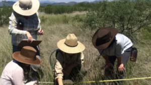
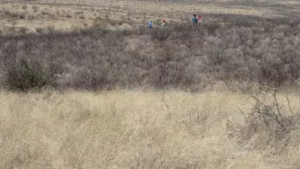
Steve Sesnie/USFWS
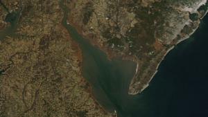
This photo has been released into the public domain because it contains materials that originally came from the National Aeronautics and Space Administration (NASA). No endorsement by licensor implied.
Justin Johnson/USDA ARS
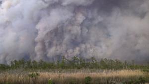
Photo attributed to USWS Souteast Region. This work is in the public domain. No endorsement implied.
Michael Rieger, from the FEMA Photo Library. Public domain, via Wikimedia Commons
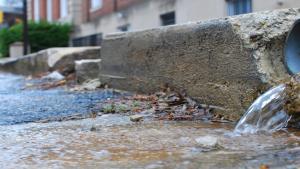
Stormwater flows onto street in Annapolis, Maryland. Photo courtesy of Chesapeake Bay Program (stretched), CC BY-NC 2.0, https://creativecommons.org/licenses/by-nc/2.0/, via Flickr