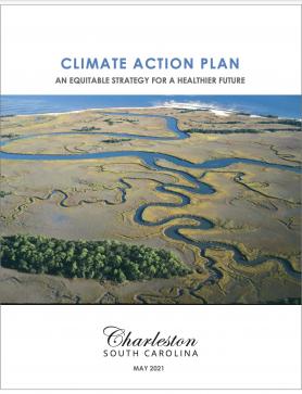
In addition to the Climate Action Plan, Charleston offers direct access to an online spreadsheet for tracking implementation of initiatives detailed in the Climate Action Plan.

Building Resilience in the Southeast
Innovative partnerships support adaptation actions
Repeated extreme events have increased public awareness of the impacts of climate change, driving policies and practices across the Southeast region. These efforts require new and innovative partnerships and sound science to inform adaptation actions on the ground. Throughout the Southeast, using the Steps to Resilience has provided benefits valued at more than five times their cost.
State-level policies and agreements are catalyzing cross-agency partnerships. For example, North Carolina’s governor issued Executive Order 80 in 2018, directing the state to integrate climate adaptation and resilience planning into its policies, programs, and operations. This policy led to the development of the North Carolina Climate Risk Assessment and Resilience Plan and associated initiatives such as the North Carolina Resilient Communities Program that are helping local governments take action to build climate change resilience.
Another innovative partnership is the Florida Resilient Coastlines Program, funded by the Florida legislature, and the Florida Coastal Management Program in partnership with NOAA.
South Carolina Sea Grant and the College of Charleston often collaborate, performing research and producing information for the entire South Carolina coastline. Similarly, the University of Georgia Marine Extension and Georgia Sea Grant work on coastal issues in Georgia.
Extension, outreach and education professionals, and community officials in states along the Gulf of Mexico have joined together in the GoM Climate and Resilience Community of Practice.
Community-based approaches to resilience
The development of resilience strategies requires strong input and sustained dialog with the individuals and groups most impacted by climate change. Community-based approaches to resilience incorporate local context and community feedback. Locally led adaptation action is increasingly being discussed at the regional and city levels. For example, the Charleston Climate Action Plan, a strategic framework for reducing carbon pollution and mitigating climate change, is directly informed by community feedback.
Virginia’s Hampton Roads region is experiencing the highest rates of relative sea level rise along the Atlantic seaboard. Several intergovernmental initiatives are underway to help the region and aid the major military facilities located there. The Hampton Roads Planning District Commission produced local adaptation reports and helped coordinate response across the region’s 17 municipalities. The Chesapeake Bay Foundation produced an interactive storymap highlighting where communities have implemented solutions to flooding issues.
The City of Tybee Island worked with researchers to produce the Tybee Island Sea Level Rise Adaptation Plan. This plan was the first sea level rise plan in Georgia. Personnel from the City of Tybee Island continue working with researchers through the Georgia Sea Grant and Extension.
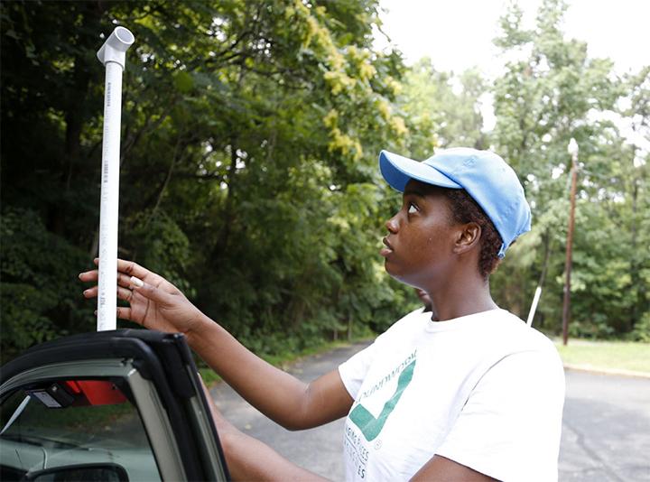
In Savannah, Georgia, the Smart Sea Level Sensors project aims to install a network of internet-enabled water level sensors across flood-vulnerable Chatham County, via a working partnership between officials from the Chatham Emergency Management Agency and the City of Savannah, together with a diverse team of scientists and engineers from Georgia Tech.
Federal science to support local resilience efforts
To support locally driven efforts, numerous federally supported efforts are underway to improve understanding of current and future climate impacts. For example, NOAA published Global and Regional Sea Level Rise Scenarios (PDF) to help communities with long-term planning.
NOAA also funds efforts for community scientists to map urban heat in U.S. cities, including Richmond, Miami, Atlanta, and Charleston. The maps can be utilized to understand the areas of highest risk during extreme heat events, and options that might be implemented to provide relief from heat.
The U.S. Geological Survey offers the Coastal Change Hazards Portal. This group has been expanding its capacity to model coastal change to support decision making, including shoreline erosion and other critical processes.
The National Integrated Drought Information System (NIDIS) offers the Apalachicola-Chattahoochee-Flint (ACF) River Basin Drought and Water Dashboard, which provides real-time information and interactive maps on current, predicted, and historical drought conditions, to assist decision making across the Apalachicola-Chattahoochee-Flint (ACF) River Basin.
Fostering collaborations across state borders
Climate impacts do not stop at borders, so cross-state collaboration is essential to resilience.
- The Southeast Drought Early Warning System (DEWS) is a collaborative federal, regional, state, and local interagency effort to improve drought early warning capacity and build long-term drought resilience throughout Alabama, Florida, Georgia, North and South Carolina, and Virginia.
- Along both the Atlantic and Gulf of Mexico coasts, the Southeast & Caribbean Disaster Resilience Partnership—a climate-focused community of practice—provides a mechanism to bring varied interests together in support of resilience throughout the region.
- The ten-state Mississippi River Cities & Towns Initiative established a disaster resilience and adaptation program in response to recent impacts from drought, floods, and extreme heat.
- Along the Gulf of Mexico coast, several regional initiatives partnered to develop Gulf TREE, a decision-support search engine that helps users find the right climate resilience tools to facilitate individual projects and planning efforts.
- The Southeast Conservation Adaptation Strategy (SECAS) represents a partnership of state, federal, and non-profit organizations working to connect the lands and waters of the Southeast and Caribbean to support healthy ecosystems, thriving fish and wildlife populations, and vibrant communities.
- Carolinas Integrated Sciences and Assessments (CISA, a NOAA CAP/RISA Team) and the South Carolina State Climatology Office support a Drought Response Program for South Carolina, which includes hosting occasional Drought Tabletop Exercises.
- PLACE: SLR is the Program for Local Adaptation to Climate Effects: Sea Level Rise, a partnership of Mississippi-Alabama Sea Grant Consortium, Florida Sea Grant, NOAA Sea Grant, and Mississippi State University Extension. This group supports sea level rise resilience in the northern Gulf of Mexico.
- To learn more about building resilience at the regional, state, and local levels in the Southeast, see case studies and tools relevant to the region in the Climate Resilience Toolkit.
To learn more about building resilience in the Southeast, visit Topics. The following topics may be particularly helpful:


