Screen capture from the ACPF Toolbox

Agricultural Conservation Planning Framework (ACPF) Toolbox
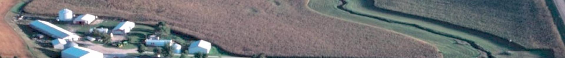
This downloadable GIS toolset can help conservation planners, landowners, and researchers better manage watershed runoff while supporting agricultural production, as well as to identify appropriate locations for implementing conservation options in a watershed.

The Agricultural Conservation Planning Framework (ACPF) is a concept for agricultural watershed management supported by high-resolution data and an ArcGIS toolbox. The tool lets users identify site-specific opportunities to install conservation practices. This free ArcGIS toolbox provides a menu of conservation options to facilitate conservation discussions on farms and in community halls.  
The ACPF tools were developed by the U.S. Department of Agriculture's Agricultural Research Service to identify locations for different types of conservation practices that can be placed within and below fields to reduce, trap, and treat water flows and thereby improve water quality in agricultural watersheds.  In 2020, the ACPF National Hub was created, funded by NRCS, to support the development and extended use of the ACPF. The National Hub facilitates the use of ACPF; maintains a repository of available data and GIS tools; provides training and outreach resources; and offers ACPF user support.

Multiple states have dedicated ACPF user groups, and the National Hub can facilitate connections to these teams for those interested in or already using the ACPF in their conservation and watershed work.
Using the ACPF tools, users can:

  • Process (or “hydro-condition”) a watershed’s high-resolution topographic data for terrain analyses (hydrologic flow-routing, slope analyses).
  • Determine which fields within a watershed are most prone to contribute runoff to streams.
  • Identify where field-scale and edge-of-field practices could be installed in your watershed, including: drainage water management, surface intake filters or restored wetlands in topographic depressions, grassed waterways, contour buffer strips, water and sediment control basins, woodchip bioreactors, and nutrient removal wetlands.
  • Map functional opportunities for improving riparian management in a watershed by showing where interception of runoff should be prioritized, where bank erosion may be occurring, and where low-lying areas offer opportunities for removal of dissolved nutrients and floodplain reconnection.
  • Identify landscape vulnerabilities to water quality degradation and link riparian and upland conservation opportunities. 
  • Track output metadata which includes the decision parameters used at runtime (ArcPro Version only)

Additionally, supplemental tools and utilities provide the ability to create and update ACPF core data where it does not currently exist, estimate costs and nitrate reduction outcomes for ACPF-generated conservation scenarios, and more. 

User options in every tool allow flexibility for matching practice-siting criteria to each local setting.

The software downloads as an archived, compressed file that also includes a user's manual and installation instructions

Last modified
10 May 2024 - 12:15pm