Screen capture from CREST

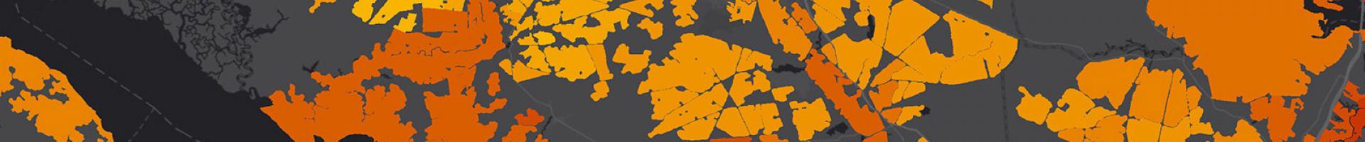
Coastal Resilience Evaluation and Siting Tool (CREST)

Planners and natural resource managers can use this web tool to make informed decisions about the siting of restoration and resilience projects.

This web tool identifies Resilience Hubs, which are areas of open space where projects may have the greatest potential to benefit both human community resilience and fish and wildlife. Resilience Hubs incorporate multiple indices—including a Community Exposure Index, a Community Asset Index, a Threat Index, and a Fish and Wildlife Index—which can also be explored through CREST.

The tool relies on Regional Coastal Resilience Assessments that were developed by the National Fish and Wildlife Foundation (NFWF) in partnership with the National Oceanic and Atmospheric Administration, the U.S. Army Corps of Engineers, UNC Asheville’s National Environmental Modeling and Analysis Center, and NatureServe. These assessments allow NFWF and its partners to identify large public and private coastal lands that are ideal for restoration and analyze their potential to provide maximum protection to human communities while also restoring or improving habitat for fish and wildlife. They utilize data available at the national level, ensuring a consistent and contiguous dataset for U.S. coastlines but allowing the information to also be used locally by communities to inform resilience planning and project development. This information then guides the implementation of the National Coastal Resilience Fund.

The Assessments currently span U.S. Atlantic, Gulf of Mexico, and Pacific coastlines, Hawaii, Puerto Rico, the U.S. Virgin Islands, and the Northern Mariana Islands. Assessments are underway in Alaska, Guam, American Samoa, and the U.S. Great Lakes.

The web tool provides access to the Assessment datasets through an online, interactive environment. It allows users to:

  • View and explore key Assessment datasets within their own areas of interest,
  • Use the data exploration tools to analyze known potential project sites and quantify results from the Assessment models,
  • Search resilience hubs to identify potential locations for proposed project sites, and
  • Provide advanced GIS users with the ability to download all of the final Assessment datasets for use in their own GIS platform.
Last modified
10 May 2024 - 12:15pm