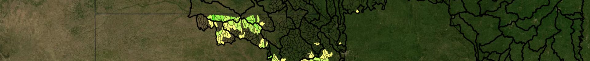
Daily Erosion Project - Soil Erosion in the Midwest
This site estimates soil erosion and water runoff occurring on hill slopes in Iowa and surrounding states. Estimates are based on hill slope conditions (e.g. topography, crop, precipitation) identified via remote sensing tools like satellites.
Soil erosion reduces soil productivity and degrades water quality. Erosion thins topsoil—the soil layer richest in organic matter and plant nutrient concentration—and can completely remove it. These lost nutrients must be replaced for crop production purposes, adding extra cost in addition to lost crop yield potential.
The DEP team posts daily estimates of average hill slope soil loss (and water runoff) for each watershed in the coverage area. The site also provides erosion resources such as publications, materials, and handouts.