Image
Tool
Hazus
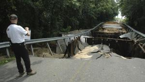
FEMA’s Hazus Program provides standardized tools and data for estimating risk from earthquakes, floods, tsunamis, and hurricanes. Hazus models combine expertise from many disciplines to create actionable risk information that increases community resilience.
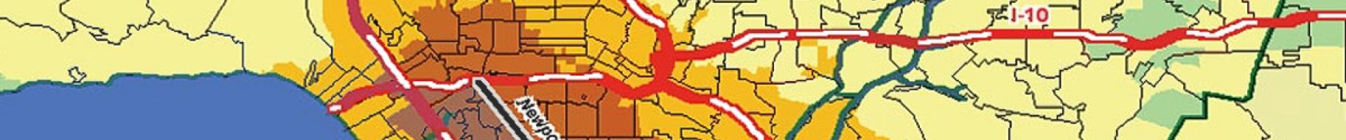
Downloadable Hazus software is integrated with ArcGIS Pro, providing users with advanced GIS capabilities, an improved user interface, and modern tools for hazard analysis. Transparently developed risk-assessment resources from the Hazus program are freely available.
Details
Hazards