HydroGIS Viewer
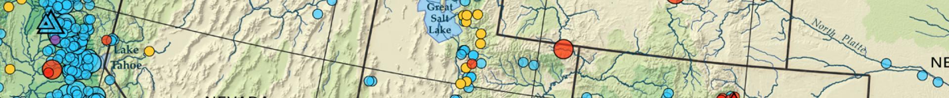
The HydroGIS Viewer is a geographic information system (GIS) web map service that allows registered users to view select information from the National Hydropower Asset Assessment Program (NHAAP). Available maps show geospatial distribution and characterizations of existing hydropower plants, dams, and generators; environmental mitigation layers; streamflow and climate time series information; and geographic reference layers. The interactive map also provides access to layers from Oak Ridge National Laboratory's New Stream-Reach Development (NSD) and Non-Powered Dam (NPD) Resource Assessments.
HydroGIS Viewer is intended for visualizing summarized data and geospatial information and features from the NHAAP. The tool's query functionality is not designed or intended as an analytic tool for assessing potential for or feasibility of hydropower development.