Image
Tool
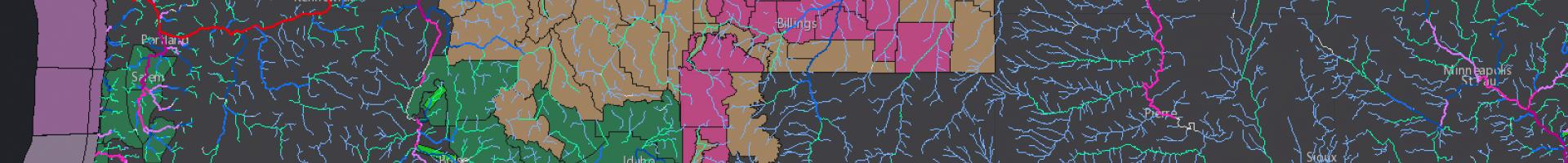
National Water Model
Emergency managers, reservoir operators, and other decision makers can consult the supercomputer-powered National Water Model for detailed forecasts of soil moisture, surface runoff, snow water equivalent, and other parameters.
The National Water Model (NWM) uses data from more than 8,000 U.S. Geological Survey gauges to simulate conditions for 2.7 million locations in the contiguous United States. Integrating weather forecasts from the National Weather Service, the model generates hourly forecasts for the entire river network including high-resolution forecasts for river disharge.
Details
Hazards
Assets