Image
Tool
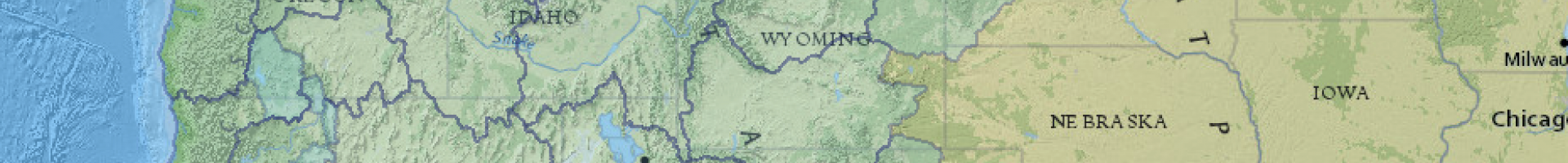
NorWeST Stream Temperature Database
Explore stream temperatures over time. The database was compiled by hundreds of biologists and hydrologists: it contains more than two hundred million hourly temperature recordings at more than 20,000 unique stream sites. Those temperature data were used with spatial statistical network models to develop 36 historical and future climate scenarios at 1-kilometer resolution for more than 1 million kilometers of stream.
These datasets can be viewed in a variety of digital formats, including ArcGIS Online (line data; point data) and the interactive NorWeST viewer. View the Map Help Guide for more information.