Image
Tool
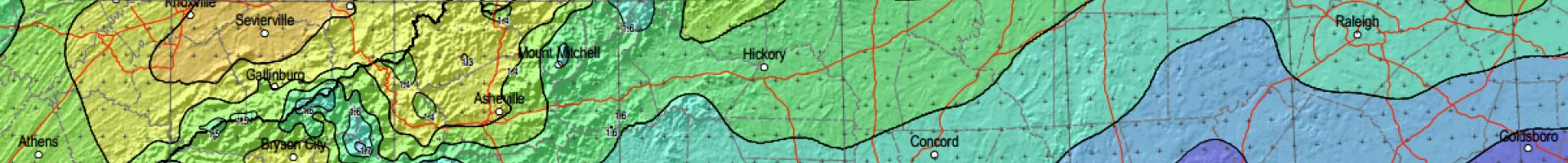
NOAA Atlas 14 - Precipitation Frequency Data Server (PFDS)
This point-and-click interface delivers NOAA Atlas 14 precipitation frequency estimates and associated information.
This point-and-click interface delivers NOAA Atlas 14 precipitation frequency estimates and associated information.

Joseph Brody. Public domain, via Wikipedia

Still image from video footage by Denver Water
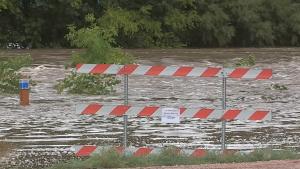
Still image from video "Tools for Flood Resilience: Lessons from Fort Collins." Video footage: Kurt Mann.

Public domain, via Wikimedia Commons.
![]()