Submerged by Sandy
The large storm surge that accompanied Hurricane Sandy in October 2012 flooded hundreds of businesses, forcing them to close. Faced with the loss of his income, restaurant owner Ivar Johnson’s first reaction was to rebuild right away. His seaside restaurant, Panini Bay in Tuckerton, New Jersey, had been heavily damaged, and it seemed that reopening as quickly as possible was the best way to move forward. When his rebuilding got under way, however, Johnson learned that flooding due to storms was not the only threat to his seaside business. He learned that rising sea level was also a factor to consider.
Considering the future
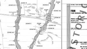
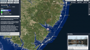
Johnson's team examined FEMA’s floodplain maps to learn about past flood conditions, and then consulted FEMA’s Advisory Base Flood Elevation levels to consider the potential for future flooding based on historical events. Johnson also worked with a local expert, Lisa Auermiller of the Jacques Cousteau National Estuarine Research Reserve, to understand the vulnerabilities his restaurant could face due to climate change. Auermiller showed Johnson the NJ Flood Mapper (see link at right), a tool that lets users visualize the impacts of various amounts of sea level rise or storm surge throughout the state. Seeing the visualizations from these tools convinced Johnson to investigate how changing ocean levels could impact his town. Although sea level rise was not incorporated into local planning regulations, as Johnson rebuilt his dream business he was convinced that an extra margin of safety was important if his restaurant were going to withstand coastal flooding that might occur in the coming decades.
Rebuilding Panini Bay restaurant
Johnson made a long-term planning decision—he took action to elevate the restaurant a total of 14 feet above current ground level: 11 feet for the Advisory Base Flood Elevation and an additional three feet of “freeboard” to incorporate a margin of safety for the building. The restaurant is open again and, based on the adaptation measures they've put in place, they hope to remain open through future storms.


