
Case Studies
CGP Grey, http://www.cgpgrey.com. CC BY 2.0, http://creativecommons.org/licenses/by/2.0, via Wikimedia Commons.
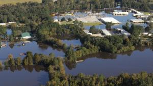
Floodwaters accumulate as the Tar River overflows in Greenville, North Carolina. Photo by Coast Guard Petty Officer 3rd Class Corinne Zilnicki. Public domain
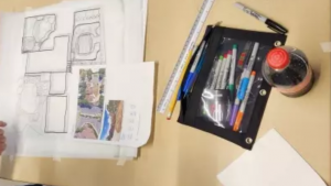
April Leigh. Used with permission
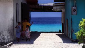
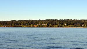
Homes in the Marshall Islands form a natural frame for the sea. Photo by Stefan Lins, CC-BY-2.0, https://creativecommons.org/licenses/by/2.0/, via Flickr.

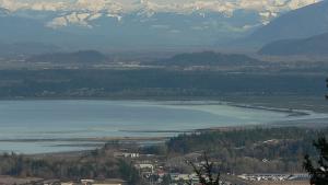
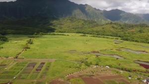
Fond du Lac Resource Management Division. Used with permission.
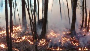
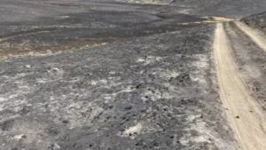
A 2011 controlled burn in a tan oak gathering area creates defensible space below a nearby home while increasing the quality of the acorns by interrupting the life cycle of the acorn weevil. Image: Mid Klamath Watershed Council. Used with permission
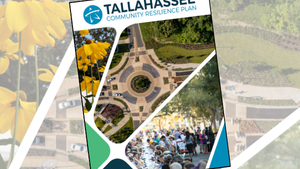
Chris Carnevale, Southern Alliance for Clean Energy. Used with permission
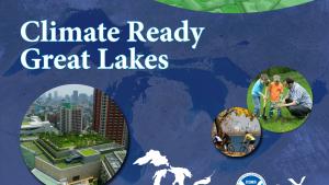
Screenshot from the Climate Ready Great Lakes training series.
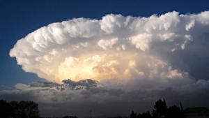
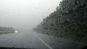
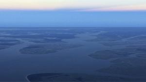
This image has been released into the public domain because it contains materials that originally came from the U.S. National Weather Service. No endorsement by licensor implied
Splash screen from NFWF Case Study