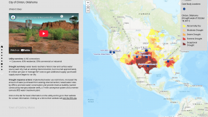
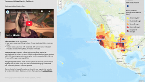
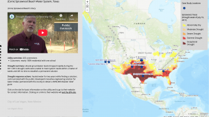
Case Studies
Sanibel sun, own work. CC BY-SA 3.0, http://creativecommons.org/licenses/by-sa/3.0, via Wikimedia Commons.
Kelly Mott Lacroix/USFS
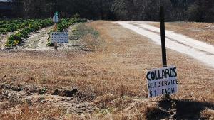
Self-service collard patch near Carthage, North Carolina. Image credit: Donald Lee Pardue. CC BY 2.0 (https://creativecommons.org/licenses/by/2.0/), via Flickr
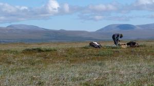
Shelby Anderson, University of Washington/National Park Service
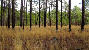
Pine Forest in Weymouth Woods, by bobistraveling, CC BY 2.0, via Wikimedia Commons.
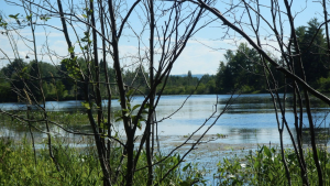
Photo attributed to Glenn. Incorporated here under the Creative Commons Attribution-Share Alike 2.0 Generic license. No endorsement by licensor implied.
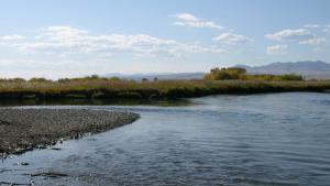
Confluence of the Ruby and Beaverhead rivers, just south of Twin Bridges, Montana. Public domain photo by Mike Cline
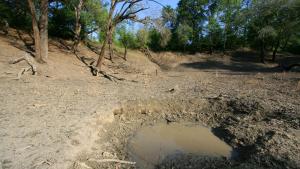
large dry sink, GPS, NAD 27 310050.2 842133.1 Grady County, Georgia, cropped, by Alan Cressler, used with permission, via Flickr. https://www.flickr.com/photos/alan_cressler/1433048454/