Alaska Coastal Profile Tool
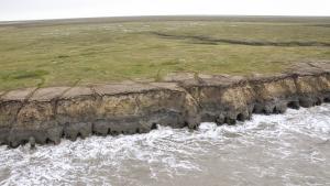
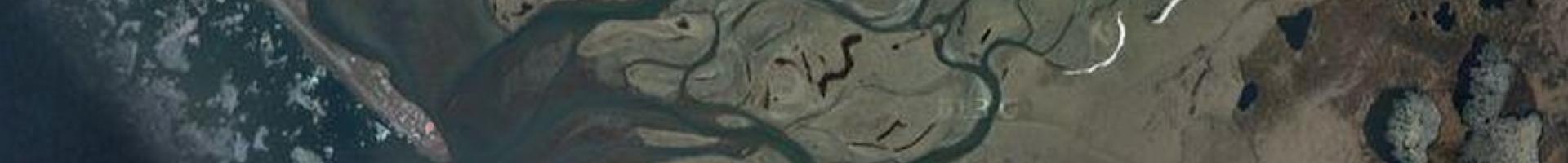
This interactive map provides access to beach elevation profile measurements collected throughout Alaska since the 1960s. Exploring profile measurements collected by the Alaska Division of Geological & Geophysical Surveys and others as time-series plots and location-based images can reveal changes in the shore-facing environment. The map accommodates datasets collected with differing techniques, including differential leveling, survey-grade GPS, or extraction from lidar-derived digital elevation models.
Lines on the overview map depict the position and shape of the most recent data at each coastal profile. Re-measured profiles are displayed as coincident for comparative purposes; however, the precise location of past measurements may vary due to differing collection methods.