CanVis
Help people visualize the impact of potential projects or events with this downloadable photo-editing software. Users can modify "before" images of familiar scenes to show how they might look "after" a specified amount of sea level rise or after a proposed building project is complete.
The free, downloadable visualization software is compatible with most computers. City planners, business owners, and land managers can use it to visualize possible future changes to ecosystems and the built environment, and to engage the public to evaluate the visual impact of options for protecting homes, businesses, and recreational spaces.
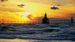
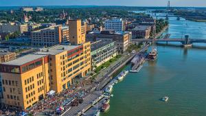
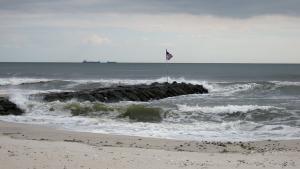
After importing photographs from a place in their community, users can view the potential impacts of rising sea levels in that specific area. In order to paint a vivid picture of the potential change, users can add elements such as docks, houses, and marshlands from CanVis’s extensive object library. City planners have used these features to show possible impacts of rising sea level or storm surge on waterfront communities.
Features:
- Incorporate docks, buildings, rising waters, and other objects into user photographs to see potential scenarios
- Enables users to quickly illustrate "what if" scenarios with this easy-to-use tool
- Requires minimal computer knowledge
- Extensive training aids and tutorials are available
To get the software, REQUEST ACCESS to this Google folder. Once you receive notification that you have permission, download the two ZIP files: (1) the EXE file for the CanVis application, plus a significant amount of supporting material; and (2) a ZIP file of visualization-ready coastal images (boats, docks, etc.) useful for organizations that manage coastal resources.