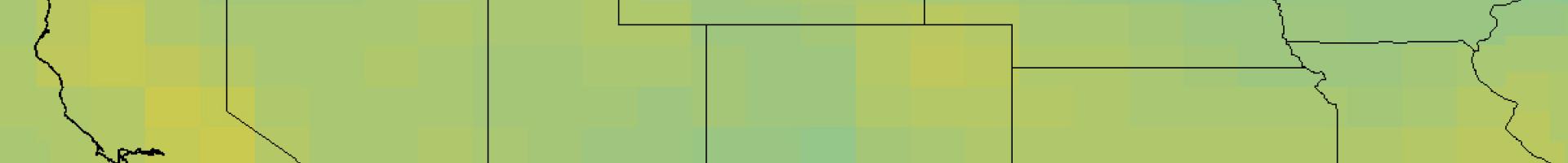
Climate Inspector
Explore maps showing projected changes in temperature or precipitation for any location on the globe for four different emissions trajectories. Results are from the CMIP5 global modeling experiment. The maps and graphs are generated from a large dataset of climate simulations that were prepared for the 2014 5th Assessment Report of the Intergovernmental Panel on Climate Change (IPCC).
The tool shows simulations from
- a multi-model ensemble consisting of ten models from the Climate Model Intercomparison Project (CMIP5) or
- the Community Climate System Model (CCSM4).
The tool offers different emission trajectories (i.e., Representative Concentration Pathways); global coverage through time; climate trends, variability and uncertainty; and the ability to download maps and data. Temporal climate data are available for a single grid cell, or you can download global data in a shapefile or text format.