Image
Tool
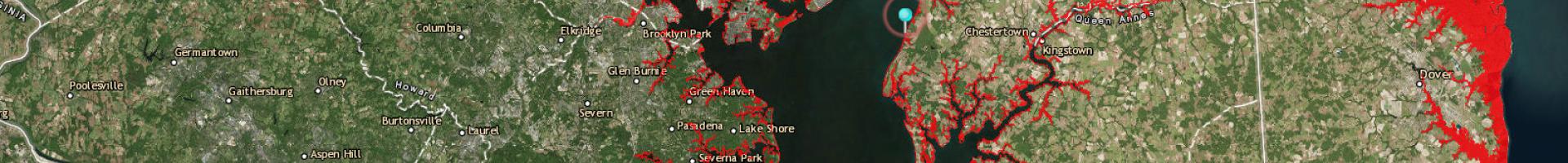
Coastal Inundation Dashboard
Check real-time water levels, 48-hour forecasts of water levels, and historic flooding information at coastal monitoring stations. Boaters and fishermen can access information on their latest local tides.
The site shows a map-based view of stations along the U.S. coast where flooding may be occurring. It also offers a more detailed view highlighting real-time water levels and historical data for a specific location.