Image
Tool
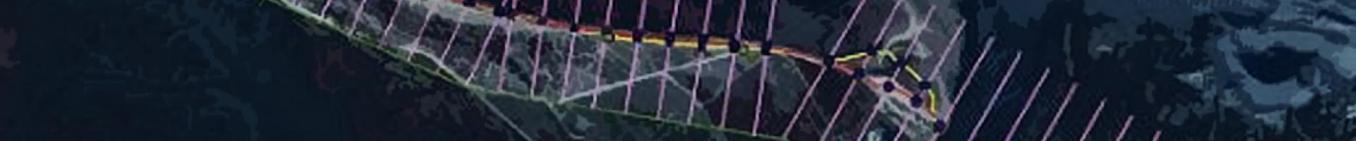
Digital Shoreline Analysis System
This downloadable software computes rate-of-change statistics from multiple historic shoreline positions. The software can compute rates of change for most any boundary change problem that incorporates a clearly-identified feature position at discrete times in a geographic information system.
Features
- Guides the user through the major steps of shoreline change analysis
- Calculates shoreline rate-of-change statistics from multiple shoreline positions to analyze historic shoreline change
- Applies to a variety of data sets that use polylines as representations of a feature’s position at a specific point in time, such as the forward limit of a glacier, river channel boundaries, and land use and land cover maps
- Produces metadata for DSAS-generated transects that comply with Federal Geographic Data Committee guidelines