Screen capture from the Assessment website

Emergency Assessment of Post-Fire Debris-Flow Hazards

Access assessments for post-fire debris-flow hazards related to select fires in the western United States.

Wildfire can significantly alter the hydrologic response of a watershed to the extent that even modest rainstorms can produce dangerous flash floods and debris flows. The U.S. Geological Survey conducts post-fire debris-flow hazard assessments for select fires in the western U.S. Using geospatial data related to basin morphometry, burn severity, soil properties, and rainfall characteristics, USGS researchers estimate the probability and volume of debris flows that may occur in response to a storm.

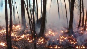
This tool provides access to such assessments through an interactive geospatial interface. Selected fires (beginning in August 2013) are displayed on a map, which links to full assessment information for each individual fire. Underlying shapefile and geodatabase information for individuals fires are available for download through the tool. GIS service information is also provided.

Post-fire debris-flow hazard assessments for recently burned areas in the western United States are provided free to any interested federal, state, or local agency, or to any private organization, company, or individual. These assessments rely upon field-validated estimates of soil burn severity in geospatial format (these data should be provided at the time of the request). Due to limitations in the model, researchers may not be able to accommodate requests for assessments in certain burn areas, such as those with very low relief terrain, very small burn areas, or in areas that are outside of the western United States. Contact information to request such an assessment is available on the tool's webpage.

Last modified
10 May 2024 - 12:15pm