Image
Tool
National Water Dashboard
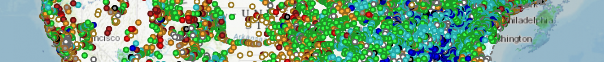
Access real-time stream, lake and reservoir, precipitation, and groundwater data from more than 13,500 United States Geological Survey observation stations across the country.
Access real-time stream, lake and reservoir, precipitation, and groundwater data from more than 13,500 United States Geological Survey observation stations across the country.
![]()