Image
Tool
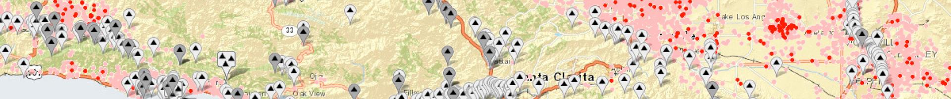
National Water Information System: Mapper
The National Water Information System (NWIS) provides access to water-related data at over 1.5 million sites in the United States and its territories.
The National Water Information System (NWIS) provides access to water-related data at over 1.5 million sites in the United States and its territories.
![]()