Screenshot from Surging Seas

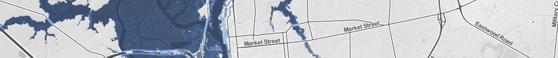
Surging Seas—Sea Level Rise Analysis by Climate Central

View threats from sea level rise and storm surge for any coastal town or city in the contiguous United States. The site's Risk Finder interface offers additional analyses for selected states.

Climate Central built this screening-level public web tool to help communities, planners, and leaders better understand sea level rise and coastal flood risks. The multi-part tool provides local sea level rise and flood risk projections, searchable interactive maps, “fast look” community reports, data downloads, and exposure tabulations by zip codes, municipalities, counties, and more. Exposure assessments cover over 100 demographic, economic, infrastructure, and environmental variables using data drawn mainly from federal sources, including NOAA, USGS, FEMA, DOT, DOE, DOI, EPA, FCC, and the Census. Maps are based primarily on the same five-meter horizontal grid digital elevation model (DEM) used by NOAA’s Sea Level Rise Viewer and consider water levels up to 10 feet above mean higher high water (MHHW–VDatum for contiguous U.S.).

Surging Seas Risk Finder provides:

  • Detailed interactive, embeddable maps
  • Analysis of over 100 variables for thousands of communities
  • Community comparisons that tabulate exposure for various area types including counties, municipalities, zip codes, planning districts, legislative districts, and more
  • Local sea level and flood risk projections based on dozens of selectable sea level rise models and emissions scenarios
  • Printable narrative summary sheets for every city, county, and other area analyzed in the web tool
Last modified
10 May 2024 - 12:16pm