Total Water Level and Coastal Change Forecast Viewer
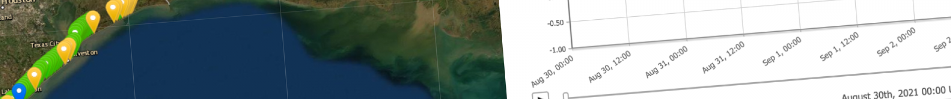
Total water level (TWL) at the shoreline is the combination of tides, surge, and wave runup. For individual stations, the viewer shows animated estimates of the elevation where the ocean will meet the coast for the next 6.5 days. Predictions show daily changes due to high and low tides as well as expected changes caused by storms and natural astronomical alignments (when the Moon is new or full while its orbit is close to Earth).
Total Water Level forecasts show local dune features such as the elevation of the base and/or crest of a sand dune to illustrate the probability and timing of coastal erosion events such as dune erosion, overwash, and inundation/flooding. In some locations, the elevation of coastal features may correspond to rocky cliffs, rip-rap, or infrastructure which do not erode or change the way sandy beaches do.