Image
Tool
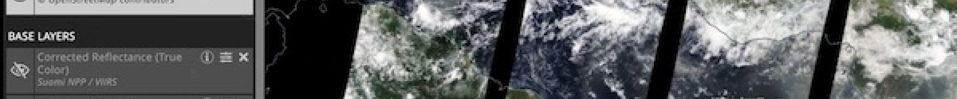
Worldview
Access global satellite imagery layers and the underlying data from NASA to see how the entire Earth looks "right now." This web-based app gives users the power to interactively browse more than 800 global, full-resolution satellite imagery layers and download the underlying data. Many of the imagery layers are updated within three hours of observation, essentially showing the entire Earth as it looks "right now."
Worldview supports time-critical efforts such as wildfire management and flood monitoring. The app offers layers related to air quality, ash plumes, drought, dust, fires, floods, severe storms, smoke, water and ice, settlements, vegetation, and temperature.