Caribbean Coastal Ocean Observing System (CARICOOS) | An IOOS Regional Data Portal
The Caribbean Coastal Ocean Observing System (CARICOOS) operates observing assets, gathers and provides observed data, creates experimental forecast models and data products, runs education and outreach programs, and promotes oceanographic research programs.
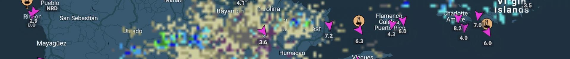
CARICOOS operates a network of observing assets including data buoys, coastal meteorological stations, vessels, instruments and radars. Data from these assets and value-added data products such as graphs and maps are provided free of charge to the general public. Users can find coastal ocean data and forecasts from a variety of sources, including satellites, ocean instruments, and numerical models for an integrated view of the past and present conditions in the U.S. Caribbean region.
The Integrated Ocean Observing System (IOOS®) is a national-regional partnership working to provide new tools and forecasts to improve safety, enhance the economy, and protect our environment. Integrated ocean information is available in near real time, as well as retrospectively. Easier and better access to this information is improving our ability to understand and predict coastal events—such as storms, wave heights, and sea level change. Such knowledge is needed for everything from retail to development planning.
This site is one of eleven regional associations (RAs) that guide development of stakeholder input to regional observing activities. The RAs serve the nation's coastal communities, including the Great Lakes, the Caribbean, and the Pacific Islands and territories. All RAs offer data collected in their region through their website data portals. Datasets offered at each portal reflect the regional associations' specific strengths and local partnerships.