Screen capture from the FEMA Map Service Center

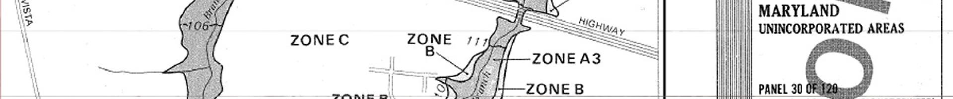
FEMA Flood Map Service Center

Users can find, view, analyze, and print flood hazard maps from FEMA.

The Federal Emergency Management Agency’s (FEMA) Flood Map Service Center (MSC) is the official government distribution center for digital flood hazard mapping products. In order to help communities, the public, and other FEMA stakeholders manage and reduce flood risk, FEMA provides a suite of user-friendly tools that support the needs of the public in viewing, analyzing, and printing flood hazard maps.

Basic Map-Viewing Tools

These products are available free online on the MSC store and provide easy access to Flood Insurance Rate Maps (FIRMs):

  • FIRMette Web. Provides easy, free access to the most current flood maps for the entire country. Because you are always accessing the maps online, every map is available and they are always up-to-date.
  • FIRMette Desktop. Allows faster and easier viewing of specific areas of interest, like a community or a state. This feature requires installing FIRMette—Desktop software on your computer, as well as downloading current FIRMs for your area of interest and storing them locally. This option is often preferred if you work with the same FIRMs repeatedly, such as for a single community, county, or state. This feature also allows you to view the maps when you are not connected to the Internet, although some program features are not available without connectivity.

Advanced Map-Viewing Tools

These products generally require more advanced computer skills, specialized software, and better understanding by the end user of the accuracy and precision of the various data sources being used.

Flood hazard information is available in geographic information system (GIS) form from both the Future FIRM Databases and the National Flood Hazard Layer (NFHL). The GIS data is designed to provide the user with the ability to determine the flood zone, base flood elevation, and the floodway status for a particular location. It also has National Flood Insurance Program community information, map panel information, cross section and hydraulic structure information, Coastal Barrier Resource System information (if applicable), and base map information like road, stream, and public land survey data.

  • KMZ for Google Earth. Simple, flexible, and powerful viewer allows access to FEMA’s flood data over the Internet. Easy to use for people familiar with Google Earth. The underlying imagery and road data may not meet FEMA accuracy standards for FIRMs, so user discretion is advised. Users are required to download and install Google Earth.
  • FEMA GeoPlatform. The National Flood Hazard Layer data can be viewed in FEMA’s GeoPlatform. This is a simple viewer that requires only a web browser to use. It exists in the ESRI ArcGIS Online environment.
  • National Flood Hazard Layer (NFHL) data. Effective GIS Data can be downloaded from the NFHL in the MSC Product Catalog. You will need accurate base map data to use along with the flood hazard data. Base map data for FEMA maps can be downloaded from the USGS.
  • Future FIRM Databases can be used with your own GIS software or in the Map Viewer Desktop. These GIS datasets are issued a few months before the data becomes effective. You will need accurate base map data to use along with the flood hazard data. Base map data for FEMA maps can be downloaded from the USGS.
  • Advanced GIS users can display NFHL data in their own GIS application through FEMA’s Web Map Service (WMS), Web Feature Service (WFS) or Representative State Transfer (REST) Service. For more information, view the GIS Services for the National Flood Hazard Layer page.
  • EDDie. Express Document Delivery (EDDie) is an online facility for use by federal, state, and local government employees and FEMA contractors for easily downloading digital products from the FEMA Map Service Center at no cost.

Users must register and create a login to order MSC products and receive information regarding enhancements to the MSC.

Last modified
10 May 2024 - 12:15pm