Image
Tool
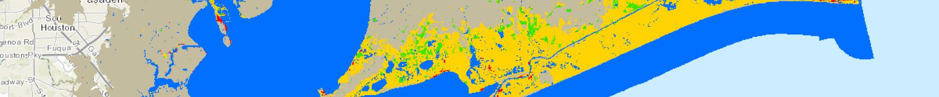
Gulf Coast Prairie LCC Conservation Planning Atlas
Regional conservation managers in the Gulf Coast Prairie region can view, retrieve, and perform analyses on spatial information as they consider how to meet specific conservation goals. The site gives them a way to discover, access and integrate existing spatial data layers and maps for use in analysis and conservation planning.
The site offers a powerful web-mapping and analysis platform that integrates credible data, social networks, and decision-support tools. The platform is designed to be approachable to casual GIS users (e.g., biologists, resource managers, program coordinators, policy advisors, researchers, interested citizens), as well as a useful publishing platform for power users of GIS technology and data.