Image

Tool
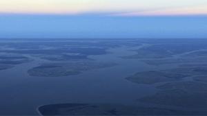
Inundation Analysis Tool
Coastal storms and other meteorological phenomenon can have a significant impact on how high water levels rise and how often. The inundation analysis tool can display the observed frequency and duration of tidal waters reaching a specific threshold.
Statistical output from these analyses can be useful in planning marsh restoration activities. Additionally, the analyses have broader applications for the coastal engineering and mapping community, such as ecosystem management and regional climate change. Since these statistical outputs are station-specific, use for evaluating surrounding areas may be limited.