Image
Tool
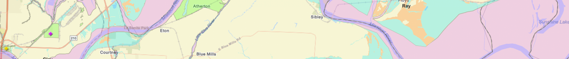
Resilience Analysis and Planning Tool (RAPT)
Examine the interplay of census data, infrastructure locations, and hazards. By combining data layers, users can create community maps to inform preparedness, response, and recovery strategies.
Analysis tools can help users identify infrastructure within a defined area and calculate population counts. Users can also download data from RAPT for further analysis. This slide deck from a January 2023 Community of Practice Webinar provides an overview of RAPT.