Step-by-Step Guide to Vulnerability Hotspots Mapping: Implementing the Spatial Index Approach
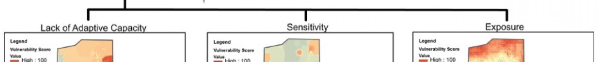
This manual describes a method developed by the Center for International Earth Science Information Network (CIESIN) at Columbia University for climate vulnerability mapping that can be applied to any geographic area. The manual was designed for a five-day training course for GIS analysts in the framework, data, and methods to develop a vulnerability map using the spatial index approach. The primary focus is on the methods needed to process and transform the raw spatial data in order to develop a spatial vulnerability index (and constituent indices for exposure, sensitivity, and adaptive capacity) using a combination of ArcGIS and R statistical computing software. Developed with Tetra Tech ARD under the U.S. Agency for International Development (USAID) Planning for Resilience in East Africa through Policy, Adaptation, Research, and Economic Development (PREPARED) and the African and Latin American Resilience to Climate Change (ARCC) projects. Best used as a guide for training courses, though can be used by individuals to develop vulnerability maps.