
Case Studies
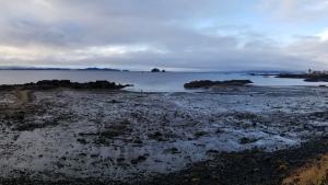
Kake Tidal Flats, by Elizabeth Figus. Used with permission

Aerial view of the City of Virginia Beach oceanfront. © City of Virginia Beach, Department of Public Works. Used with permission

Courtesy of NBBJ
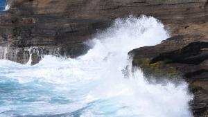
Waves crashing into basaltic rocks formed from lava flows on Hawai'i Island. Courtesy of pxhere.com
This image has been released into the public domain because it contains materials that originally came from the U.S. National Oceanic and Atmospheric Administration. No endorsement by licensor implied.
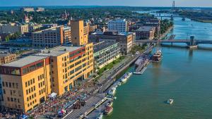
Green Bay's CityDeck with the Peacemaker tall ship docked at the Cherry Street boat landing, 2014. By Chris Rand, CC BY-SA 4.0, https://creativecommons.org/licenses/by-sa/4.0), via Wikimedia Commons
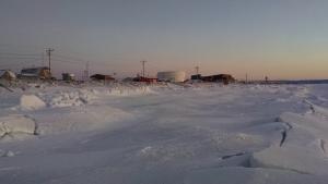
Aerial view of Shaktoolik by Stefan Tangen. Used with permission
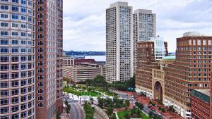
Boston cityscape. Bert Kaufmann, Roermond, Netherlands. CC BY 2.0 (http://creativecommons.org/licenses/by/2.0), via Wikimedia Commons
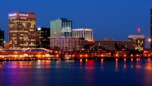
Evening view of Norfolk, Virginia. Public domain image by Joey Sheely
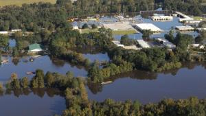
Floodwaters accumulate as the Tar River overflows in Greenville, North Carolina. Photo by Coast Guard Petty Officer 3rd Class Corinne Zilnicki. Public domain
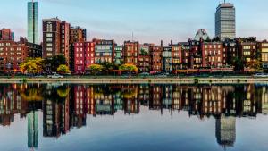
Beautiful reflections of Boston's Back Bay from the esplanade on October 8, 2013. Photograph by Robbie Shade, CC-BY-2.0, https://creativecommons.org/licenses/by/2.0/, via Flickr
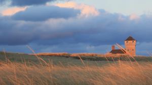
Old Harbor Life-Saving Station, Cape Cod National Seashore, Massachusetts. Photo by JCefaly, CC BY-SA 3.0, https://commons.wikimedia.org/w/index.php?curid=21669809

Photo attributed to Dirk Ingo Franke. Incorporated here under the Creative Commons Attribution 3.0 Unported license. No endorsement by licensor implied.
