Heat.gov
A primary source of heat and health information for the nation to reduce the health, economic, and infrastructural impacts of extreme heat.
A primary source of heat and health information for the nation to reduce the health, economic, and infrastructural impacts of extreme heat.
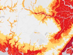
A tool for developing maps of areas and infrastructure at risk of coastal flooding.
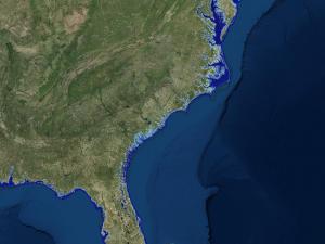
A web mapping tool to visualize community-level impacts from coastal flooding or sea level rise.
Learn to lead local resilience efforts in this six-module online course.
Access information about this substep of the Steps to Resilience.
Access information about this substep of the Steps to Resilience.
Access information about this substep of the Steps to Resilience.
Access information about this substep of the Steps to Resilience.
Access information about this substep of the Steps to Resilience.
This dataset illustrates the US communities most at risk for 18 natural hazards. Explore this information using the Resilience Analysis and Planning Tool (RAPT).