Image
Tool
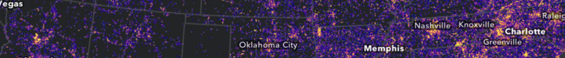
StreamStats
Access spatial analytical tools that are useful for water-resources planning and management, and for engineering and design purposes.
The map-based user interface can be used to delineate drainage areas, get basin characteristics, estimates of flow statistics, and more. Available information varies from state to state.
Details
Hazards