Just outside the northeastern boundary of Washington, D.C., the suburban city of Mount Rainier, Maryland, features affordably priced homes, pedestrian-friendly sidewalks, and a handful of historic buildings. The city—named after the better-known mountain in the Pacific Northwest—expanded in the early 1900s after a streetcar line began offering service in and out of the capital. Since the 1970s, officials in Mount Rainier have made substantial efforts to improve air and water quality for the town's residents, and to become a sustainable “green” community.
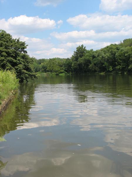
Mount Rainier lies within the watershed of the Anacostia River, which flows into the Potomac River. In turn, the Potomac River flows into the ecologically productive Chesapeake Bay. Unfortunately, the Anacostia—sometimes referred to as Washington’s “forgotten river”—is severely polluted with toxic sediments, agricultural nutrients, and trash. As climate changes, increasingly frequent heavy precipitation events can exacerbate pollution in the river because rain washes pollutants on roads and lawns into waterways. In keeping with its “green” values, city staff in Mount Rainier recognized that controlling urban runoff could reduce the influx of pollutants into the river. They also knew that their local efforts could pay off at a larger scale, as improved water quality from their location would move downstream.
Acknowledging the potential to improve water quality in the region, the city established an Urban Green Infrastructure Plan to develop guidelines to improve the city’s stormwater management. Mount Rainier’s Green Team Committee—a group dedicated to increasing sustainable practices in the community—played a critical role in developing the plan. Committee members, the City Council, and city staff worked with the non-profit Low Impact Development Center to ensure the plan would meet Mount Rainier’s goals.
Why green infrastructure?
The plan set a goal for the city to limit polluted runoff into streams by becoming stormwater neutral—a state defined as the ability of an area to capture, infiltrate, retain, or evapotranspirate the first inch of rainwater that falls in any storm event. Capturing and slowing just one inch of rain can deliver larger-than-expected benefits for water quality because the first inch of stormwater runoff—sometimes called the “first flush”—contains the highest abundance of pollutants from the land.
In addition, capturing the first inch of rainfall reduces the speed at which runoff reaches nearby streams, reducing the likelihood of problematic flooding and erosion farther downstream. As climate change increases the frequency of large rainfalls, controlling stormwater to limit flooding and to reduce transport of pollutants is increasingly important.
Urban Green Infrastructure Plan
Putting Mount Rainier’s Urban Green Infrastructure Plan into practice calls for providing information, recommendations, and tools to help stormwater managers, builders, and homeowners understand low impact development (LID) stormwater control practices, and encourage them to install green infrastructure projects.
The plan includes recommendations to reduce stormwater runoff in a variety of situations. Examples include installing adequately sized gutter downspouts and draining rain barrel overflows to landscape areas or rain gardens; capturing stormwater from driveways and patios using slot drains along the downslope edge of the paved area; and planting trees to increase evapotranspiration, reduce erosion, and provide shade for urban areas.
Quantifying reductions of stormwater runoff
In order to document any reduction in stormwater runoff, the plan needed a reliable method to calculate before-and-after runoff rates and to evaluate the effectiveness of various strategies. The city chose to use the U.S. Environmental Protection Agency’s Stormwater Calculator to make the calculations.
The Stormwater Calculator can help urban planners, building developers, landscapers, and homeowners quantify reductions of stormwater runoff for specific pieces of land. The tool utilizes data on local soil conditions, topography, and rainfall records to estimate annual rainfall and runoff from sites. Once these calculations are complete, the tool calculates estimates for the effectiveness of various practices and combinations of practices to help users select appropriate strategies for their stormwater-reduction design. The process of using the Stormwater Calculator helps users analyze a real-world problem to find solutions that work.
Looking forward
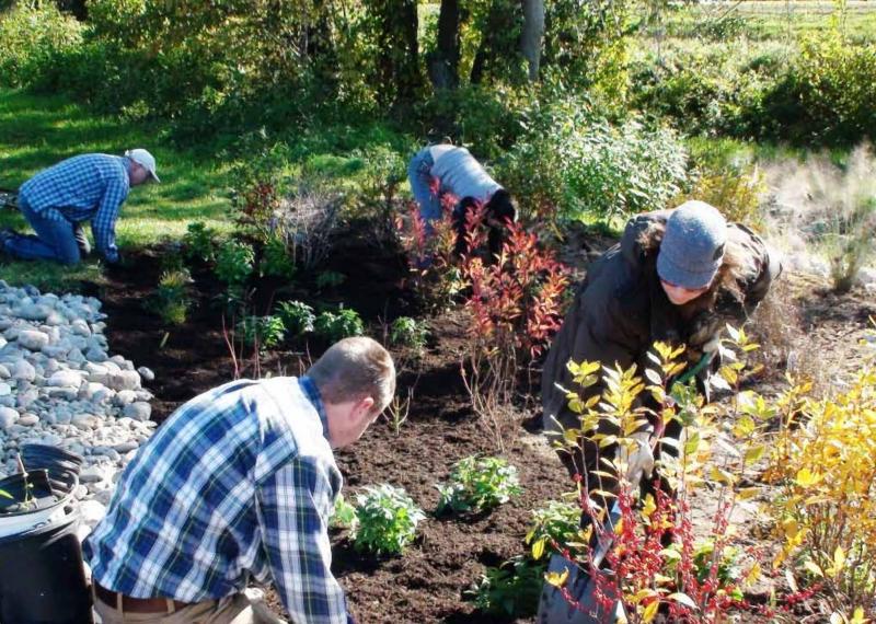
Since the plan was established in 2013, Mount Rainier has been implementing a vigorous tree-planting effort; is using pavers to create permeable parking lots and alleys; and has converted one of the city’s main roads, Buchanan Street, into a “green street.” To complete the Buchanan Street project, the city obtained grant funding from the Chesapeake Bay Trust, which offers grant funding for a range of projects that can improve water quality in the Chesapeake Bay. In addition, many residents have planted rain gardens in their yards. Mount Rainier’s Thomas Stone Elementary School and the Mount Rainier Nature Center have also planted rain gardens.
The city’s effort to reduce stormwater runoff is just one of the green initiatives Mount Rainier has implemented. In 2015, Mount Rainier was certified by Sustainable Maryland, and has earned the title of Sustainability Champion. As a participating community in Sustainable Maryland, the town has access to grants, incentives, and technical support to further promote sustainable and resilient practices.


