
Case Studies

Image provided on NOAA Sea Grant website.
Splash screen for NFWF Case Study: American Rivers
scene Salem Lake ncwetlands KG, cropped, by NC Wetlands, public domain image, via Flickr. https://www.flickr.com/photos/ncwetlands/46127282494
Tony Waupochick, Menominee Tribal Enterprises, surveys an oak wilt site after treatment. Image credit: Climate Change Response Framework (https://forestadaptation.org/adapt/demonstration-projects/menominee-tri…). Used with permission
Miguel Vieira, Walnut Creek, California. CC BY 2.0, http://creativecommons.org/licenses/by/2.0, via Wikimedia Commons
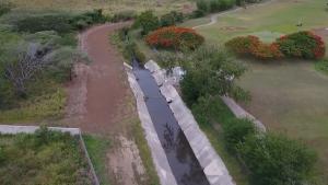
Still image of an aqueduct canal near Salinas, Puerto Rico, extracted from the FEMA video "Recharge Project: Aquifer Storage and Recovery Project in Salinas, Puerto Rico"

Downtown Asheville at dusk. Image credit: Michael Tracey, public domain, via Flickr

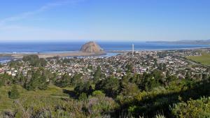
Morro Bay, Morro Rock, and the City of Morro Bay in San Luis Obispo County, California. Photo by Kjkolb, CC BY 2.5, http://creativecommons.org/licenses/by/2.5, via Wikimedia Commons
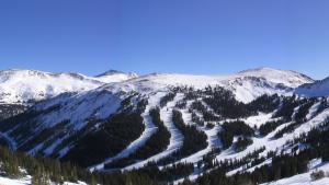
NPS, U.S. Geological Survey
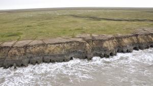
Alaska ShoreZone
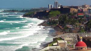
Still image from the video "Climate Change Vulnerability Assessment for San Juan Bay, Puerto Rico" from the U.S. Environmental Protection Agency
DebateLord (Wikipedia user). Public domain, via Wikimedia Commons
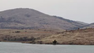
Sean C. Emmons/USGS