Image
Tool
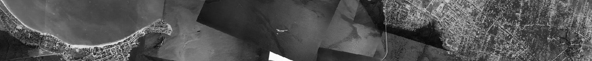
Georeferenced Puerto Rico: A Coastal Mosaic
Access georeferenced aerial photographs from 1930 and 1950 for the coastal areas of Puerto Rico. Data can be used in Geographic Information Systems (GIS) for other spatial analysis with other geographic data of the island to document change.
The site describes the procedure used for georeferencing the aerial photographs, provides a summary of the resulting coverage for Puerto Rico's coastal areas, and lists some of the limitations and use constraints of the georeferenced photographs.