Image
Tool
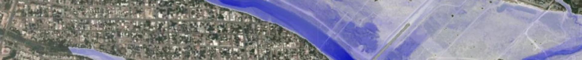
Inundation Mapping Interface
Emergency managers, public officials, and individuals in some U.S. cities can get map-based forecasts showing locations at risk of inundation for National Weather Service flood forecasts.
These interactive maps help emergency managers and decision makers visualize where inundation may affect their communities. When flood forecasts are released by the National Weather Service, officials have the option to refer to these maps and scroll through the different river flood stages to see how inundation could impact local roads, building infrastructure, and resources. Users are then able to make better informed decisions on bridge and road closures, as well as evacuations.