
Case Studies
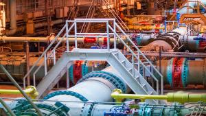
Blue Plains Advanced Wastewater Treatment Plant. Photo by Alicia Pimental, Chesapeake Bay Program, CC BY-NC 2.0, https://creativecommons.org/licenses/by-nc/2.0/
U.S. Department of Transportation
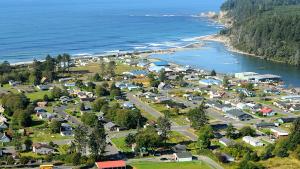
Larry Workman, Quinault Indian Nation. Used with permission.
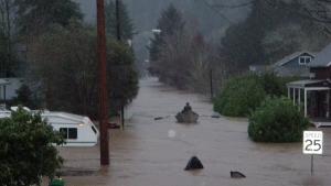
Linda Cook, Lane County Emergency Management
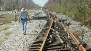
Still image from video footage, Colorado Department of Transportation

Alaska ShoreZone
Screen capture from video "Built to Last: Climate Data Ensure Oil Supply Route." Video footage: Kurt Mann
U.S. Navy, Machinist Mate 3rd Class Juan Pinalez. Public domain, via Wikimedia Commons
Animum, own work. GFDL (http://www.gnu.org/copyleft/fdl.html) or CC-BY-SA-3.0-2.5-2.0-1.0 (http://creativecommons.org/licenses/by-sa/3.0)], via Wikimedia Commons
Photo attributed to Ebyabe. Incorporated here under a Creative Commons Attribution 2.0 Generic License. No endorsement by licensor implied.