
Case Studies
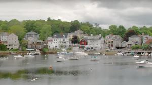
Still image from the video, "Manchester-by-the-Sea, Massachusetts: Water Utility Climate Adaptation Planning" from the U.S. Environmental Protection Agency
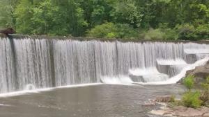
Still image from video, "Fredericktown, Missouri: Water Utility Climate Adaptation Planning" from the U.S. Environmental Protection Agency
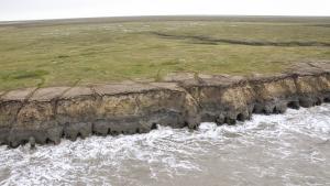
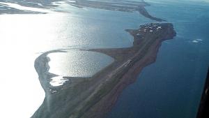
Alaska ShoreZone
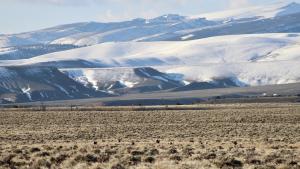
Angela Burgess, USFWS
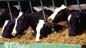
Brian Schack, U.S. Department of Agriculture. Public domain, via Wikimedia Commons
Mikefairbanks. CC-BY-SA-3.0, http://creativecommons.org/licenses/by-sa/3.0/legalcode, via Wikimedia Commons
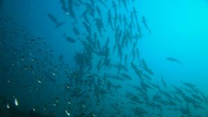
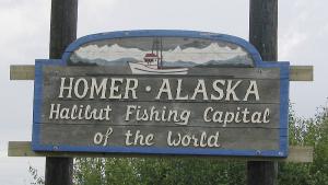
Photo attributed to LASZLO ILYES. Incorporated here under the Creative Commons Attribution 2.0 Generic license. No endorsement by licensor implied.
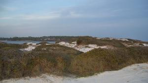
Photo attributed to Ebyabe. Incorporated here under a Creative Commons Attribution 2.0 Generic License. No endorsement by licensor implied.
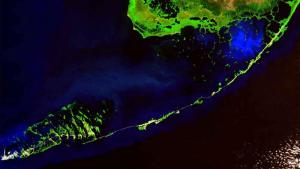
Photo attributed to www.terraprints.com. Incorporated here under the Creative Commons Attribution 2.5 Generic license. No endorsement by licensor implied.
Tom Burke
Photo attributed to McGhiever. Incorporated here under the Creative Commons Attribution 3.0 Unported license. No endorsement by licensor implied.
(c) 2005 Derek and Julie Ramsey (Ram-Man). Incorporated here under the Creative Commons Attribution-Share Alike 2.5 Generic license. No endorsement by licensor implied.
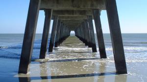
This photo has been released into the public domain because it contains materials that originally came from the U.S. Army Corps of Engineers. No endorsement by licensor implied.
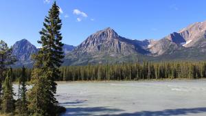
Photo attributed to Royalbroil. Incorporated here under the Creative Commons Attribution 3.0 Unported license. No endorsement by licensor implied.