Action plans used in the Options Database
Explore examples of resilience strategies identified in published plans from across the country. The actions identified in this collection inform the Options Database.
Explore examples of resilience strategies identified in published plans from across the country. The actions identified in this collection inform the Options Database.
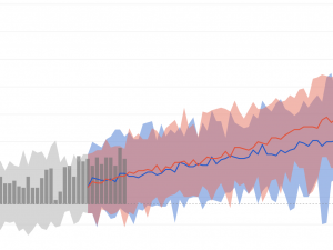
Explore past, present, and projected future climate in easy-to-understand maps and graphs. This Storymap can help you get started.
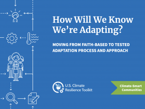
This paper focuses on how the field of adaptation can shift from practices built on assumptions to practices built on evidence and deliberation.
A do-it-yourself guide for small to mid-sized communities.
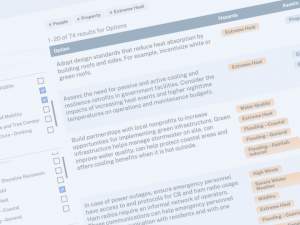
Explore over a thousand resilience-building solutions considered by other communities.
Expert guidance for assessing climate vulnerability with a focus on nature.
A good starting point for any Practitioner or Government Champion. It provides a local summary of the National Climate Assessment for each state.
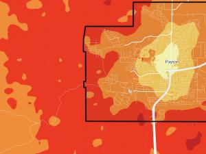
A website with interactive maps and resources to help understand and reduce wildfire risk.
A primary source of heat and health information for the nation to reduce the health, economic, and infrastructural impacts of extreme heat.
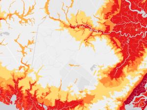
A tool for developing maps of areas and infrastructure at risk of coastal flooding.
![]()