Image
Tool
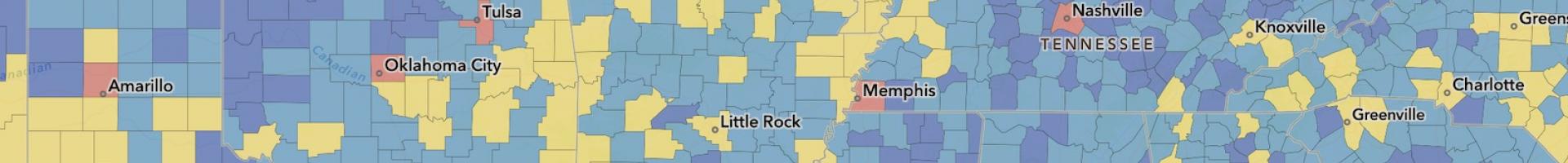
National Risk Index (NRI)
The site's web maps present data at the county and census tract level via geographic information system (GIS) feature services for custom analyses. These data layers offer a holistic view of community risk to natural hazards via online maps and data.
The NRI may be helpful to communities working to
- update emergency operations plans
- enhance hazard mitigation plans
- prioritize and allocate resources
- educate homeowners and renters
- support adoption of enhanced codes and standards
The NRI data is now available through the FEMA Resilience Analysis & Planning Tool (RAPT).
Details
Hazards
Assets