Image
Tool
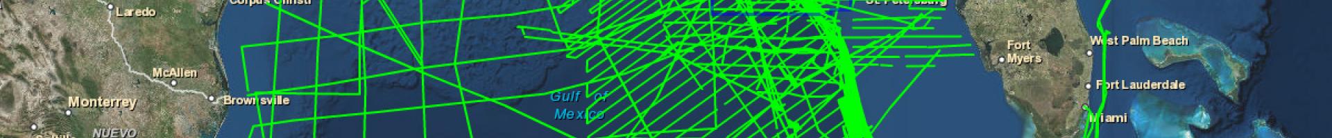
United States Interagency Elevation Inventory
View a nationwide listing of known high-accuracy topographic and bathymetric data, with descriptive data and direct links or contact information to access each dataset.
This catalog of publicly available, high-accuracy elevation data for the United States and its territories is collaboratively maintained by six federal partners. The inventory provides an important central location for information about elevation data sets.